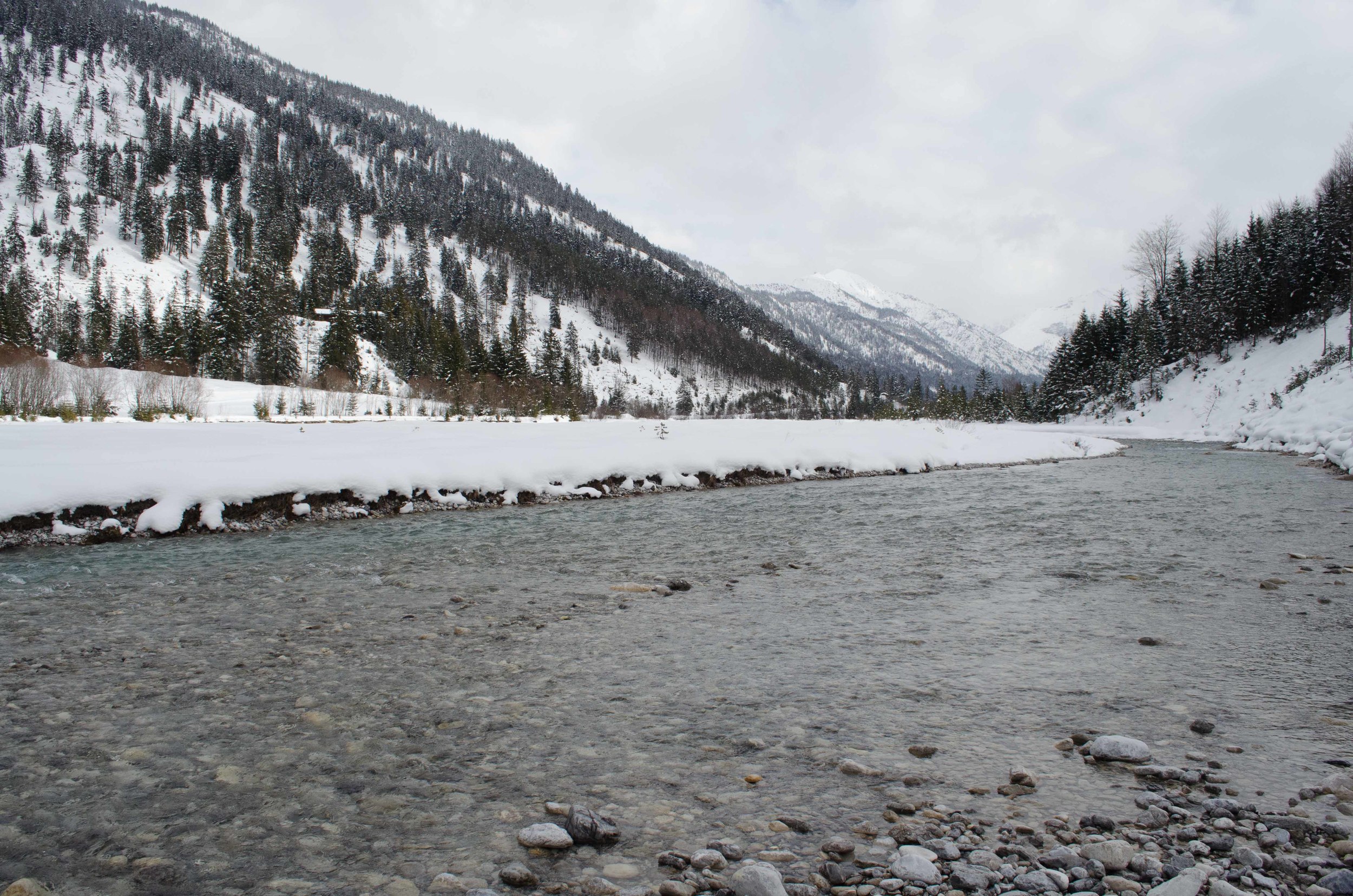
Last week I was surrounded by rivers--literally and intellectually. It started with a Sunday afternoon trip to Austria (only two hours away!) where a friend and I took a guided snowshoe hike in the Alpine foothills near the remaining "natural" bed of the Isar River, which flows North and eventually provides Munich's drinking water and rivershore (but more on that later)--up in the nature preserve where we were it is still a clear, cold, fast, and gravelly river. Just north of the preserve and right along the Austrian/German border the river is dammed to create flood reservoirs and help water engineers control the downstream levels. However, in a quirk I didn't understand until later in the week, trucks are paid to routinely take gravel from above the dam and put it back in the river below the dam. I wasn't able to get a pic of the waterworks, but here's part of the Isar's Alpine watershed (I'm not entirely clear on whether it's the Isar or a tributary):

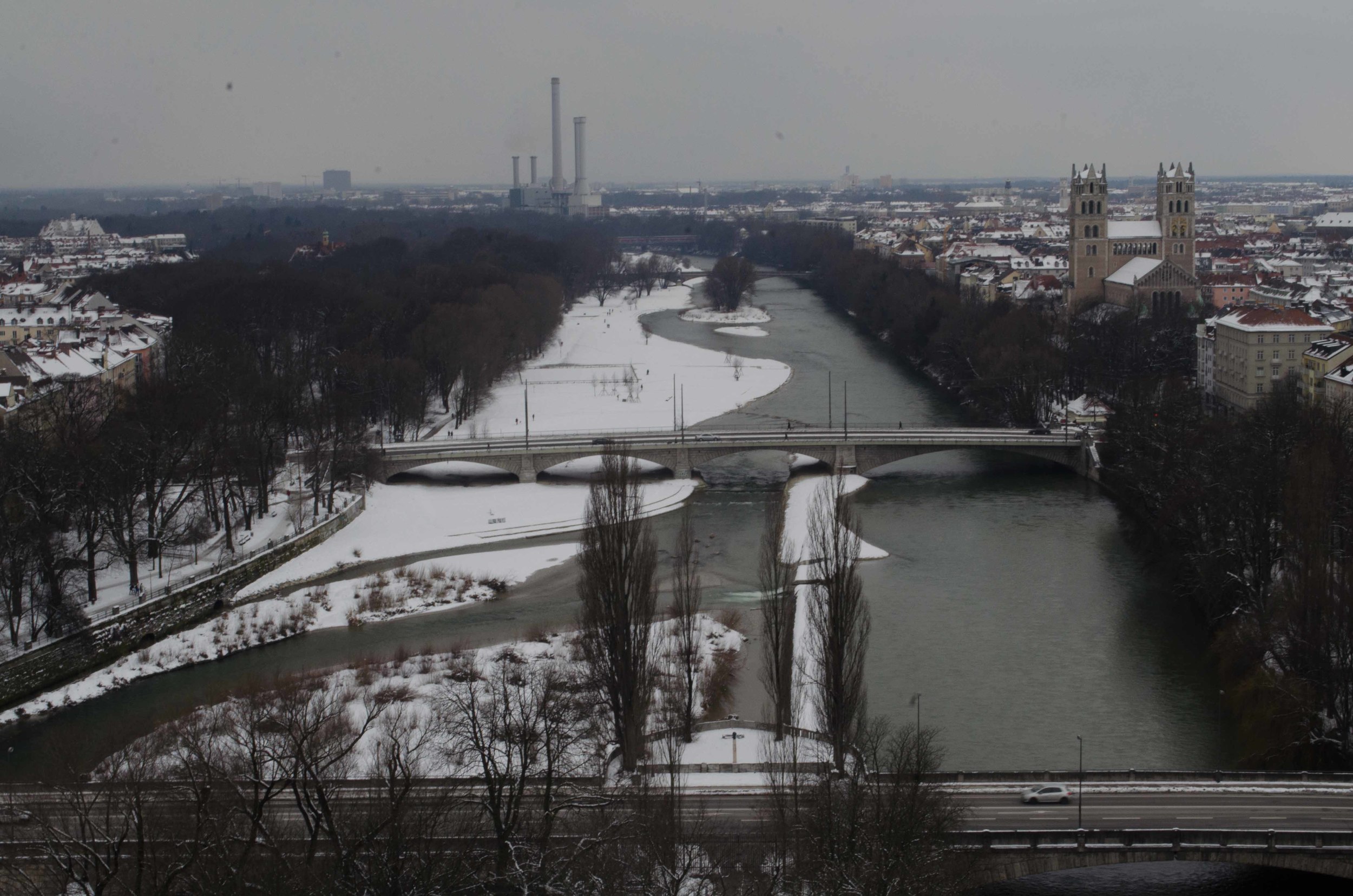
At the end of the week, I attended a conference workshop hosted by the Carson Center, "Rivers, Cities, Historical Interactions" that brought together scholars from all over the world who are working on the complex ways that (mostly) modern cities interact with their rivers. The first day of the conference included a walk along the Isar in downtown Munich, led by an ecologist and a sociologist who specialize on the Isar. We learned about the medieval history/legends of Duke Henry the Lion bridging the river, about the modern canalization and embankment of the river, and of even more recent attempts to restore some of the "natural" river properties by undoing embankments and allowing the river to partially regain its earlier qualities of meanders, fluctuating gravel islands (that's what the dam/gravel issue is tied to!--if they didn't routinely ship the gravel to the other end of the dam it would 'silt up' with gravel. The Alpine rivers are so fast that they carry large gravel pebbles hundreds of kilometers away). Here are two pictures of today's Isar.
In this first one, you can see portions of the more "naturalized" river bed. However, planners did make the decision to fix the shores--the river will be maintained like this rather than allowed to move its gravel banks around.
And here you can see the differences between the re-naturalized Isar bank (left) and the still (and probably permanently) embanked/canalized bank (right). Apparently in summers, up to 40,000 people a day come to the riverfront, and there's even a permanent wave that is surf-able in one of the parks.
The workshop then continued, lasting through Saturday night. I learned a great deal about the work that people are currently doing on the issue of river history, in particular about the history and legacy of modern and contemporary attempts to regulate rivers, to use rivers to enact new and changing concepts of the roles of governments, cities, and industry in urban development, and in one particularly striking paper, on the ways that traditional boatman songs in China mapped out the river and showed the relationship between urban cultures. I met some very engaging and interesting people, and was left encouraged about my decision to pursue river history yet also a bit more concerned about some of the gaps in historical discussions and analysis that exist between pre-modern/modern and (perhaps more importantly for my current project) cultural and urban/enviro-tech/political approaches.

